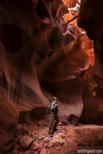
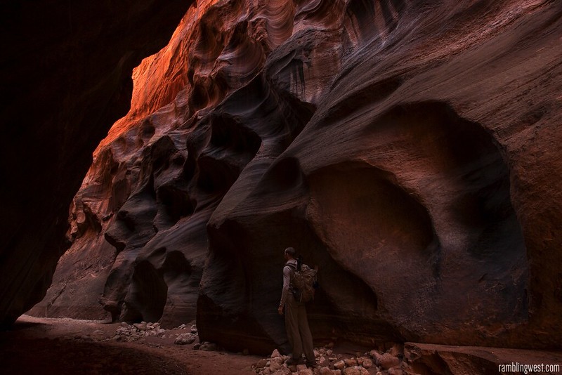
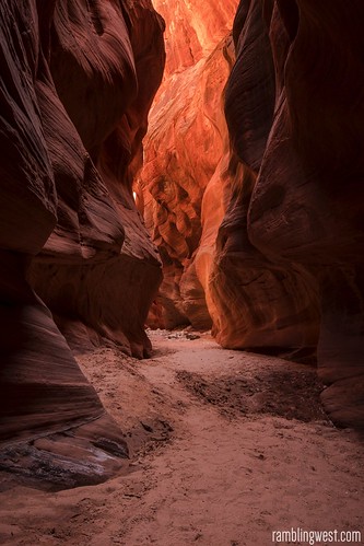
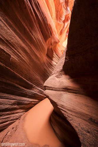
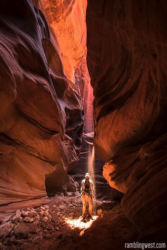
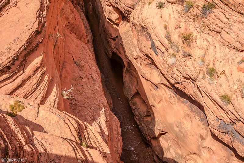
Probing one of the deeper sections in Buckskin Gulch…
Sometime in the early afternoon of June 5th 2015 I found myself in the backcountry of southwest Utah, wedged in the nook of a slickrock outcropping to avoid the hail falling and lightning striking around me. From my precarious position I had a reluctant front-row seat at the center of an early monsoonal thunderstorm on the Colorado Plateau. Torrents of water and pea-sized hail smacked against my rain gear, managing to sneak in and soak me as I squatted on a foam pad to insulate myself from contact with the ground in case of any unlucky lightning strikes. Curiously I crouched here with a sense of relief, because my situation at that particular moment represented an escape from a much more immediate threat – I had just climbed out of the narrow slot of Buckskin Gulch and sat watching torrents of water flood into it from above.
About 10 days earlier I set out for Zion National Park for a week of canyoneering with friends. After we parted ways I switched gears and planned a quick adventure-hike to experience one of the most amazing slot canyons in the world. I would start at Wire Pass, head 12 miles down Buckskin Gulch, spend the night at its confluence with the Paria River, and hike back out the way I came the following morning. The weather in Zion had been perfect but weather forecasts indicated a low chance of rain the following week.
I made my way east from Zion and after a night camped along Cottonwood Canyon road I found the only spot with cell-service and called the rangers at the Paria Contact Station and the Kanab Visitors Center to discuss weather and my plans. The word was that possible rain was about two days away and that my itinerary as it stood had a good chance of missing it. Knowing what I know now, and with friends who have subsequently lost friends to flash-floods, I wouldn’t cut it that close again, but at the time it seemed clear that I would be out before the rain.
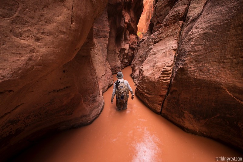
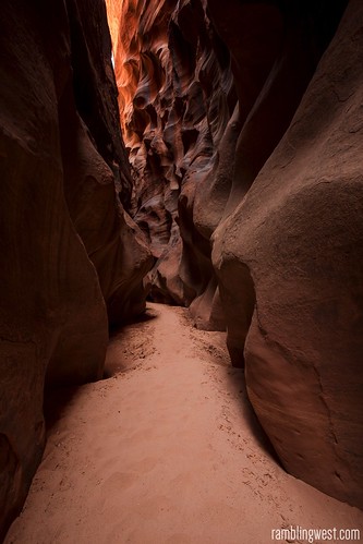
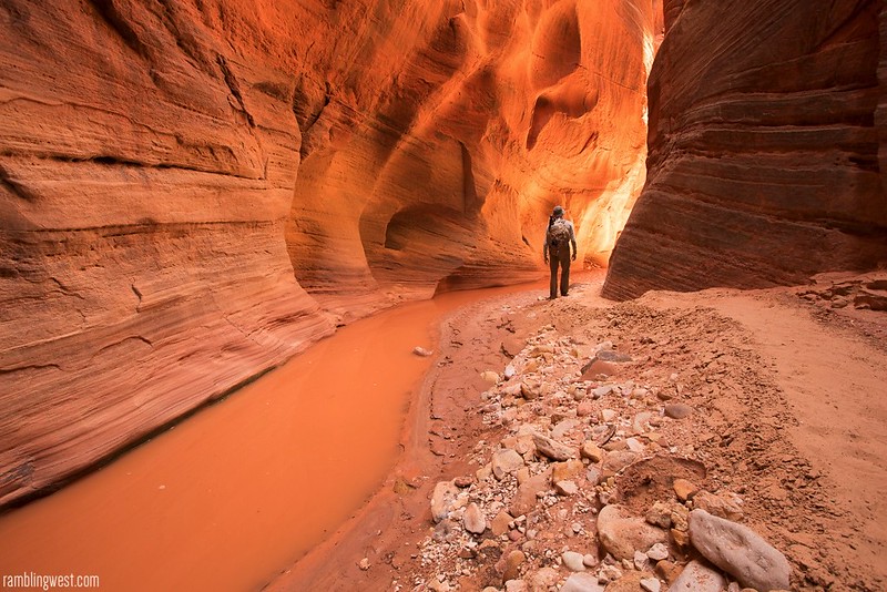
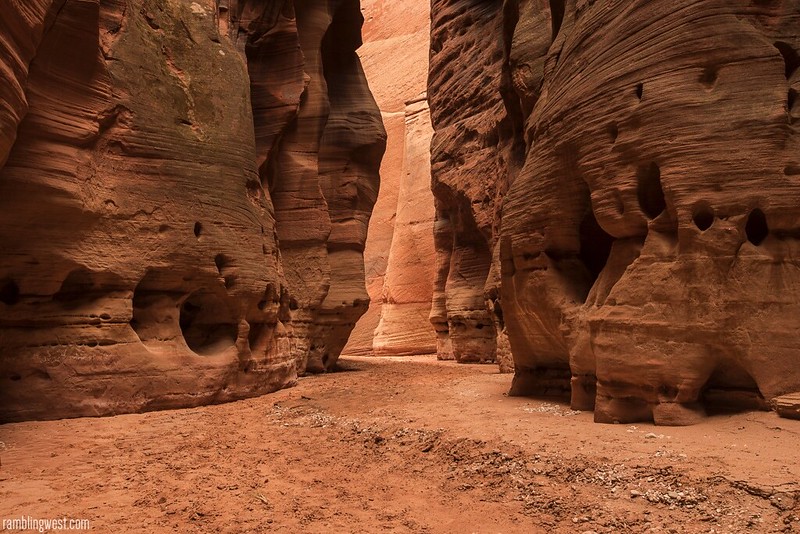
A “wide” section…
On my hike in, I stopped at the halfway-point and noted the Middle Exit escape route. I also looked for potential escape routes on the south wall – which would put me in a better place to get back to my car in case of escape because I wouldn’t have to recross the gulch as I neared Wire Pass.
The south wall does have some foot and hand-holds pecked into the rock near the base of the gulch but they seemed sketchy at best. I continued on hoping I wouldn’t have to test that exit.
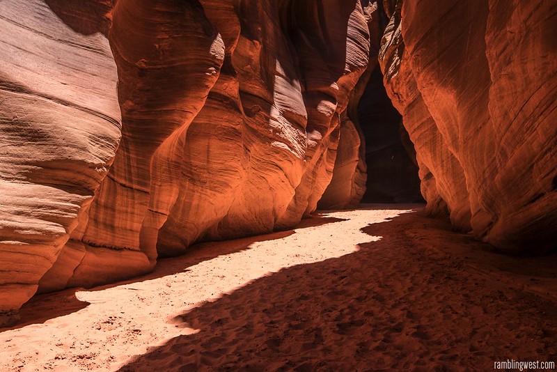
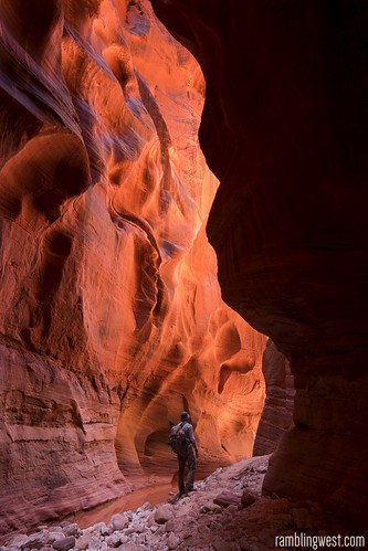
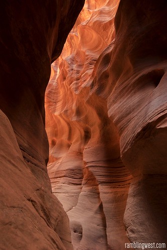
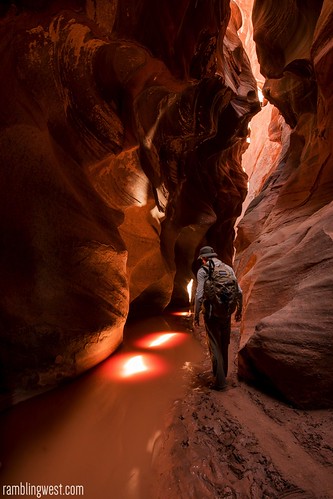
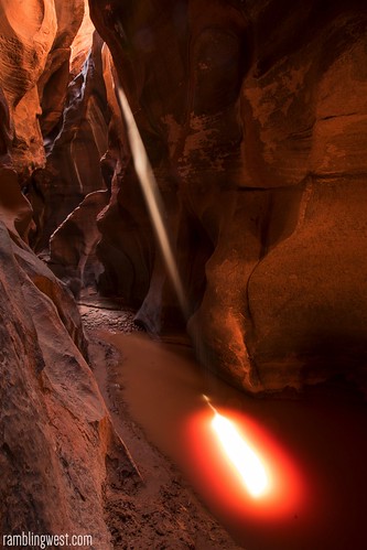
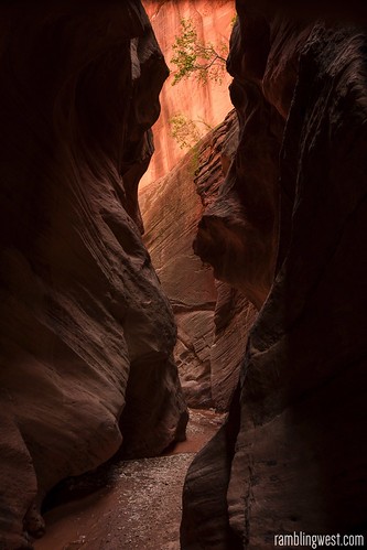
Light beckons around every turn…
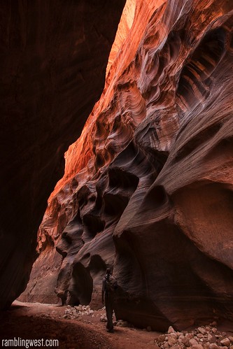
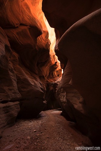
Typical views during the hike in…
About a mile or so upstream from the Paria there is one section referred to as the Boulder Jam that required some easy scrambling, but it was the only semi-technical section I faced and eventually the walls of the gulch opened up and I found the only other people I had seen all day near the confluence. These were two or three other groups of backpackers who had set up camp on the desirable high-ground spots on both sides of the gulch.
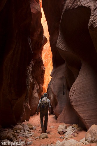
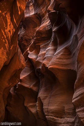
A few more snaps from the hike in…
Being a late arrival I was left with a lower spot only about 10 feet above the level of the wash, but at the edge of a sandy slope which climbed about 30 more feet up to the campers above me. I was satisfied that this could be utilized in the case of an emergency and so made my camp. By this time the sky had grown overcast and I couldn’t decide if it was because it was evening or because rain was coming. Either way it was getting dark and it was then when I realized I was out of water.
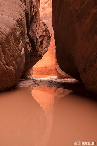
Nearing the confluence…
I had carried in 3 liters of water for the first day with plans to refill the next morning at Wall Spring for the hike out. I had figured that 3 liters would suffice for the hike in and for rehydrating my dinner, but I figured wrong. Wall Spring was 1.5 miles south of me and with evening closing in I would need to make the hike that moment if I wanted water at camp. I was tired and ready to relax so I wasn’t at all excited about the prospect of a 3 mile round-trip hike for water with evening closing in. Setting out, I grabbed a headlamp in case it was fully dark by the time I returned. Luckily I didn’t have to go far at all and found a trace of crystal clear water at the confluence only 0.1 mile away. I filtered 3 liters and went back to camp to make dinner.
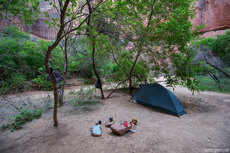
Camp at the confluence…
Before long I was tucked into my tent and ready for bed. During dinner I had used my Delorme InReach to ping a weather service for the latest weather at my location. The tall walls of Buckskin Gulch made satellite transmission spotty and I lay in my tent wondering if it would receive a transmission at all. Finally, about two hours after sending, the device chirped. The light from the screen illuminated the darkness of my tent as I read with dismay that there was now a 50/50 chance of rain – A recent development that surprised me. There was little I could do from my small bit of high ground that moment but go to sleep and hope for the best. I was a little anxious about rain in the night and I resolved to break down quickly and head back out at first light. I peeked out of my tent to look into the night before falling asleep in the stillness.
I awoke at dawn to an overcast sky. After a hasty breakfast I broke camp and noticed the other groups of backpackers already on foot heading downstream towards the Paria and Lees Ferry. They had a few days more of traveling ahead of them. I turned my back and walked back the way I had come.
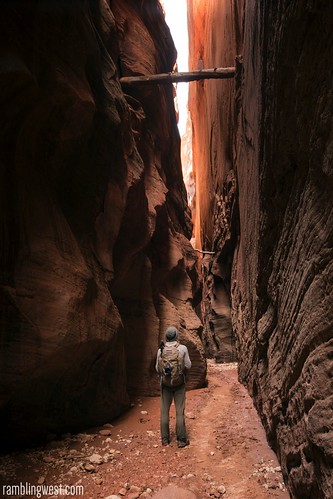
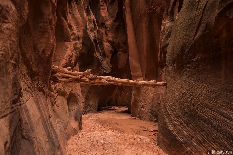
Another perfectly jammed log…
I hiked fast under a gray sky. Without direct sunlight to illuminate them, the walls of Buckskin Gulch took on an ominous and imposing character. Without reflected light to bring out their color the walls became less photogenic and with the enchantment of the previous day gone I kept my camera holstered. I kept up a brisk pace, looking at the sky from time to time hoping that if it rained, it wouldn’t rain too hard. About 3 miles from camp it started to drizzle.
The light rain came in fits and starts, not even enough to suggest rain gear. Maybe this is it, I thought. It continued like this for 3 more miles, the sound of my footsteps occasionally punctuated by light rain, until I reached the Middle Exit area. A good place to be during an impending storm. Relieved, I sat down to put on my rain jacket and planned my next move. I looked at the sky and considered going another 6 miles in the gulch but I hadn’t been stopped for more than a few minutes when the rain began falling harder. And harder.
There was no way I would keep going inside the gulch. I was going to have to climb out of there. It was raining steadily as I began scouting the route up the southern wall of Buckskin Gulch. The slickrock was already wet and slippery as I tied a hank of cord to my backpack to pull it up after me so it wouldn’t throw my balance as I scrambled up the wall. Near the sandy floor of the gulch the southern wall creates a bulge where some faint hand holds have been pecked into the rock. The rock is semi-overhanging, making the first 10 feet or so particularly hard, especially so in the rain. The first 15 feet were by far the sketchiest and took me a few minutes to climb, with more than a few false starts. Ledges became wider and more frequent the higher up I climbed and soon enough I pulled my pack up and was scrambling up towards the lip of the gulch.
By the time I reached the top of the gulch, almost to the moment, the rain stopped and the sky cleared for the first time all day. I stood there laughing to myself and took a picture of the ground I had just covered. Just my luck. For a moment I wondered if I should climb back down into the gulch because hiking would be easier there than on the shifting sands of the Paria Plateau, but the puffy cumulonimbus clouds against the now-blue sky around me indicated there might be more rain, not to mention the updated forecast I had. I stuck to my plan, and I’m glad I did.
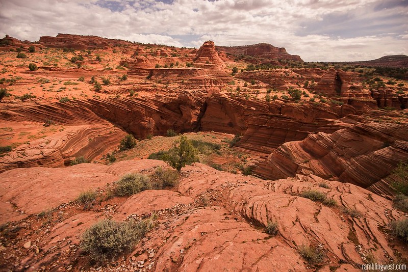
The rim after climbing out the south wall of the middle exit…
The sun dried me out quickly and the recent rain made the deep sand slightly easier to trudge through. I walked southwest, keeping Steamboat Rock off to my left and using the distant Top Rock of the North Coyote Buttes to guide me back towards Wire Pass. The hiking was tiring and slow-going but I felt good.
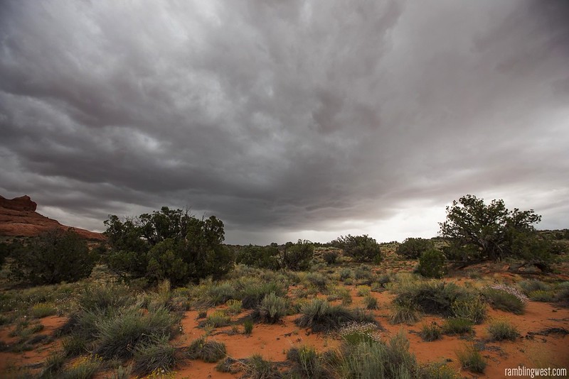
About an hour after I had climbed out of the gulch, just as I was leaving Steamboat Rock behind me, the sky once again grew dark. I was surprised by just how quickly the weather changed. This was not the indistinct and mottled gray sky that I had hiked under all morning, however, this was something else – something bigger. A thunder cell was rapidly forming just to my south and within a few minutes the wind picked up and lightning began to flash on the horizon. I knew I would need to find shelter. This looked like the main event and the storm cell was moving straight towards me.
And an hour later…the storm approaches…
I quickly put my rain gear back on and looked for a place to wait out the storm. Shelter is hard to come by on the Paria Plateau, which is mostly sand and domed sedimentary rock punctuated by the occasional juniper or pinyon pine. I spotted a rocky nook on a spot of high ground with an overhang that looked like it would do. Thunder boomed overhead and a hard rain began to fall in sheets as I approached the small den. A jackrabbit who had been using the same shelter ran into an abandoned pack-rat midden at the back of the nook. For the next half hour we would be sharing the same space.
And there I crouched on my keeling pad as the storm moved directly overhead. An hour earlier it had been close to 90 degrees and yet at the center of the storm cell hail now fell from the sky. The full fury of the cell unloaded around me. I looked off to my right in disbelief as the entire north wall of Buckskin Gulch turned into a waterfall – the steep slickrock walls of the Clark Bench directing rain water down into the Gulch. I will never forget the sheer violence of the storm and the astonishing speed with which it formed. To be hunkered down at the center of it was both terrifying and humbling. To be out of the gulch was potentially life-saving. You can imagine my relief despite the drama around me.
Within 10 minutes the swiss-cheese pattern of storm clouds shifted north again, creating another temporary window of sun and blue sky. I got to my feet and continued southwest, now fully soaked despite my raingear. Once again the sun dried me off quickly and I wondered how long I might have before the next downpour.
Just northwest of Top Rock the sandy plain of the Paria Plateau gives way to a particularly tortured landscape of knobs and hoodoos characteristic of the coyote buttes. As I closed in on this area my hiking slowed to a crawl. To hike through this landscape is to be relentlessly cliffed-out and to continuously double back. The most sensible lines of travel demand persistent and steep up and downs. I tired out fast and it was at this time that I headed back over to the edge of Buckskin Gulch to see if it was navigable. What I saw amazed me.
And an hour after the second storm, looking back into the Gulch…
Despite it being about an hour since the rain had ended there was still about 2 or 3 feet of water coursing through the gulch from wall to wall like a river. Hiking in the gulch during a state like this would be taxing if not impossible and I can’t even imagine what it would have looked like during the height of the storm. I reflected on just how lucky I was that the first bout of rain hit right when it did, causing me to climb out before the real storm hit. With the sun still high in the sky I plugged on through the gnarled landscape and soon recognized the sage-plain just north of the Coyote Buttes permit area. I was home free.
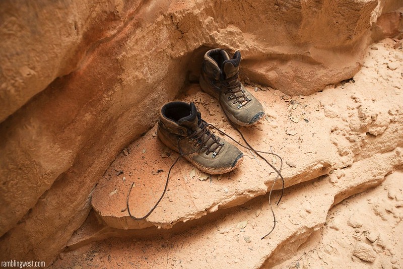
A pair of abandoned boots along the trail…
24 hours after hiking in I was back at my car along House Rock Valley Road, and not a moment too soon for once again the pattern of clouds above shifted and another storm began to close in. With fat rain drops falling, I raised the rear hatch of my 4runner to shelter myself while I spent a few minutes unwinding. After changing clothes I got back on the road and headed back towards the 89, realizing I would have to cross the Paria river and wondering weather I was stuck.
Although swollen, my lifted truck made it across the river without incident, but the rain continued to pound. The mud and clay road was literally being washed away as my truck slid and jostled up the road. About 15 minutes from the highway I found two women in a rented 2014 4runner stopped in front of a 50 foot section of pure mud. They had already slid off the road once before and had a dangling front bumper to prove it. Their confidence was a little shaken and they asked if I might drive their vehicle across for them. I obliged, jumping out into the storm and getting behind the wheel. I backed up on some high ground, gave the car some gas and we made it across safely. Wishing them well I ran back across the mud and we caravanned up the road. Soon the highway was in sight.
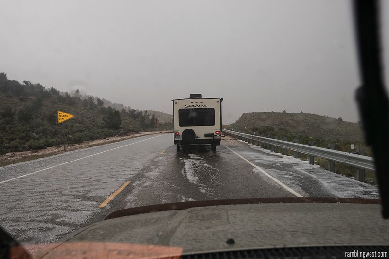
At the exit three government vehicles were heading in and the rangers inside flagged me down. As rain and hail battered us they told me that the paria river had flooded north of the highway and they were trying to assess things from the ground. They peppered me with questions. Had I passed anyone? Where was I coming from? What were the conditions of the road? Were there cars at the Wire Pass trailhead? Did I remember what they looked like? I gave them all the information I could and they disappeared in my rearview mirror down the rapidly failing road. As I reached the relative safety of the highway the hail intensified and a traffic jam formed as the highway flooded across Sand Gulch. This had been quite a day.
Back to the 89…
Eventually the traffic got moving again and I drove west towards St. George, passing through alternating bouts of sun and storm. I wondered about the other backpackers I had seen in the gulch and how they had dealt with the storm. As I put some distance between myself and the weather system I could see its extent. From Kanab it appeared as a massive superstructure of billowing grey and orange clouds that stretched across the southeastern horizon and I was a little amazed that I had just emerged from it. The monsoonal tide follows the I-15 down to California and all along the way I was treated to stray thunderstorms as I made my way back down to LA.
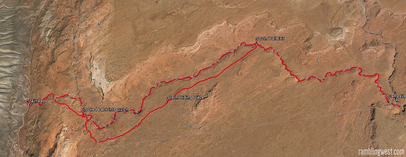
Overview of 24 hours in Buckskin Gulch…
My short overnight down Buckskin Gulch to its confluence with the Paria River was an unforgettable experience. While the unique and otherworldly beauty of Buckskin Gulch alone would have made it as much, it was this coupled with the storm that has made this trip stand out among many others. I do hope to return to Buckskin Gulch in the future for a multi-day trip to Lee’s Ferry, but only when the trip is bookended by blue skies and zero precipitation 🙂
[iframe src=”http://www.mappingsupport.com/p/gmap4.php?q=http://www.johnniehuss.com/misc/kml/buckskingulch_rw_map.kml&t=t1&z=10&” width=”100%” height=”400″]
::: Download Trip KML :::
Rating: ★★★★★
Distance:~22 miles for an out and back to the confluence…
Time Needed: 24 hours as described…
Difficulty: Moderate
Special Considerations: As noted there are often sections of cold standing water that can get higher than waist deep in some circumstances. Be sure to dry-bag anything you want to stay dry just in case. Also be prepared to have your legs constantly wet so bring appropriate gear. I had read about a dry-fall along the route that would require the use of a short length of rope but I found nothing that could not be easily down-climbed. The most technically challenging point along the route to the confluence with the Paria river is the boulder-jam area, which is where I ended up lowering my pack with some cord so that I could scramble a little more easily. You might consider bringing a 12 foot length of webbing or rope just in case.
Also if there is rain in the immediate forecast do NOT attempt this hike. Call the nearby ranger contact stations to discuss your plans. In my case rain was supposedly two days away but came a little early. I wouldn’t cut it that close again. Furthermore the gulch is far more stunning in clear weather, where the sun can reach into the gulch and illuminate its walls.
Photo Tips: You will need a tripod in the gulch as it gets quite dark. Light beams generally occur towards noon when the sun is overhead. Toss some dust in the air to photograph them. I found the quality of light to be fantastic almost the whole time the sun was out – creating a changing character all day long.
Logistics: Buckskin Gulch requires a permit, which should be claimed a few months in advanced. This is a popular hike. When checking weather before your trip I have found the Kanab Visitors Center to be the best resource in the area for up to the minute info from actual rangers who patrol the area.
buckskin gulch backpacking
, buckskin gulch gps, buckskin gulch kml, buckskin gulch camping, buckskin gulch
Thinking about doing this hike next summer. Great information, thanks and glad you made it out safe.
Hi there and thanks for the kind words! I can’t recommend this hike highly enough…whether you do an out and back to the confluence or go all the way through to Lees Ferry. It’s total slot-canyon overload.