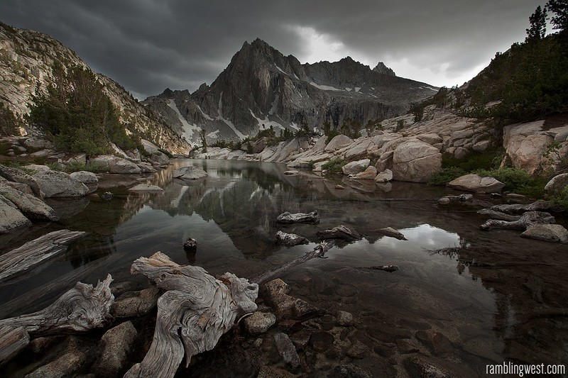
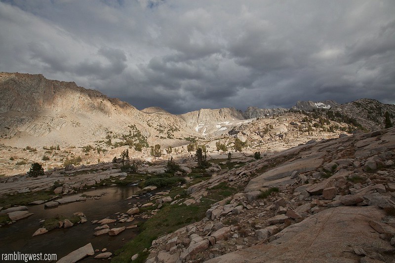
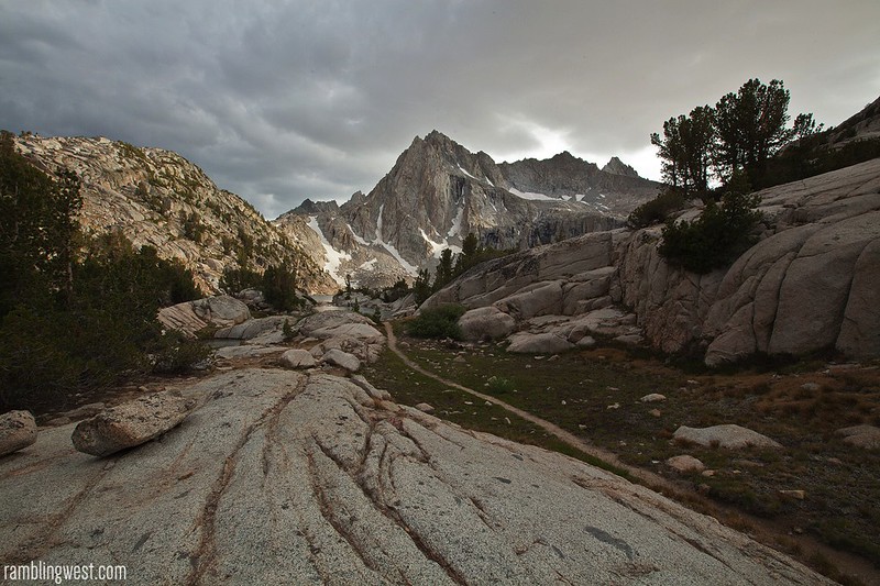
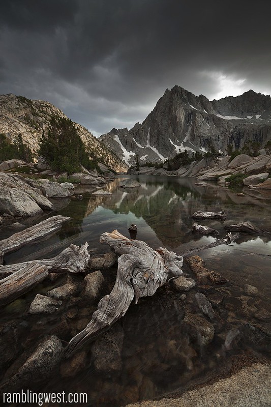
A storm looms over Picture Peak in the High Sierras…
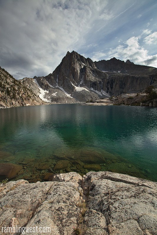
Stressed and restless, I needed a night in the mountains. The usual overnight to the San Gabriels north of LA wouldn’t do. I needed some time in the Eastern Sierras, even just a night or two. I had seen some trip reports from Hungry Packer Lake up near Bishop and I began planning. What drew me to the place were photographs of a mountain nicknamed ‘Picture Peak’ – a commanding 13,000 ft mountain peak with a perfect shape dominating the vista from the lake shore. That was where I wanted to spend the weekend. I packed quickly and was on the road the following morning.
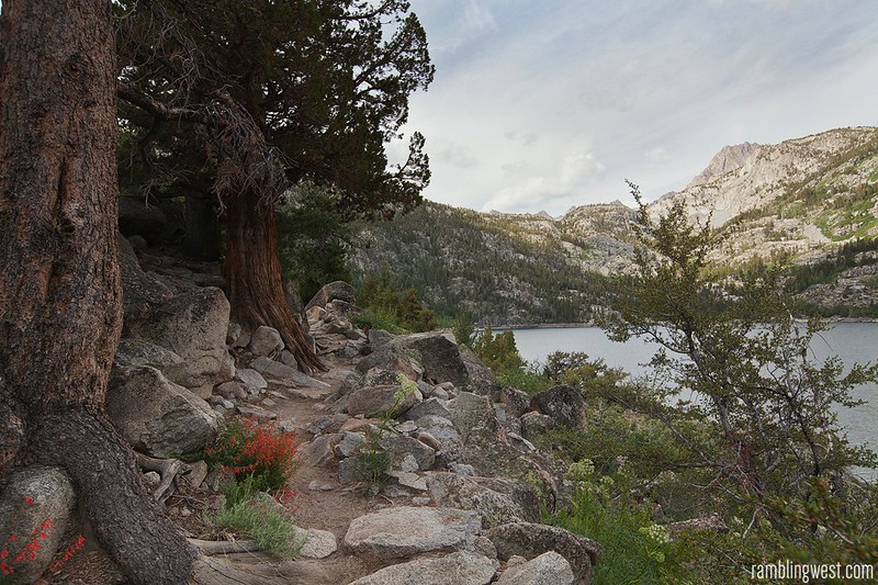
Starting out along the southern shore of Lake Sabrina…
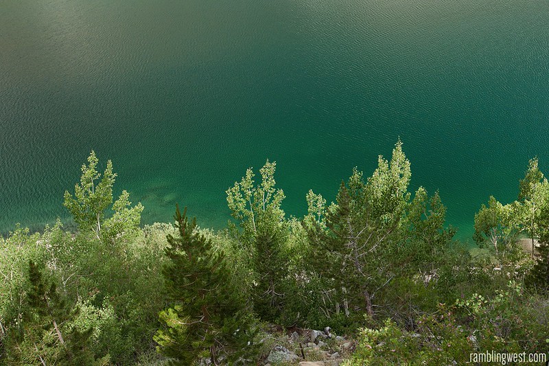
Aspens against Lake Sabrina…
The trailhead up to Hungry Packer Lake begins at Sabrina Lake (pronounced Sah-Bry-Nuh for some reason) at the end of the 168 – an extremely scenic route that runs west out of Bishop following Bishop Creek up to about 9,000 ft. This area (Sabrina, North Lake, South Lake) is a great jump-off for many trips into the high sierra. Not a bad place to start.
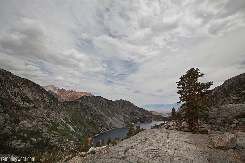
Looking East over Lake Sabrina
Blue Lake ‘up the hill’ from Sabrina…
I spent the first night at the Sabrina Lake campground just down the road from the trailhead before packing up in the morning and hitting the trail. The trail begins by tracing the southern shore of Lake Sabrina and then climbs steeply up the western escarpment of Table Mountain and Thompson Ridge to the striking Blue Lake. The trail cuts west and then southwest again through the basin feeding Bishop Creek and heads up towards the boundary of Kings Canyon National Park.
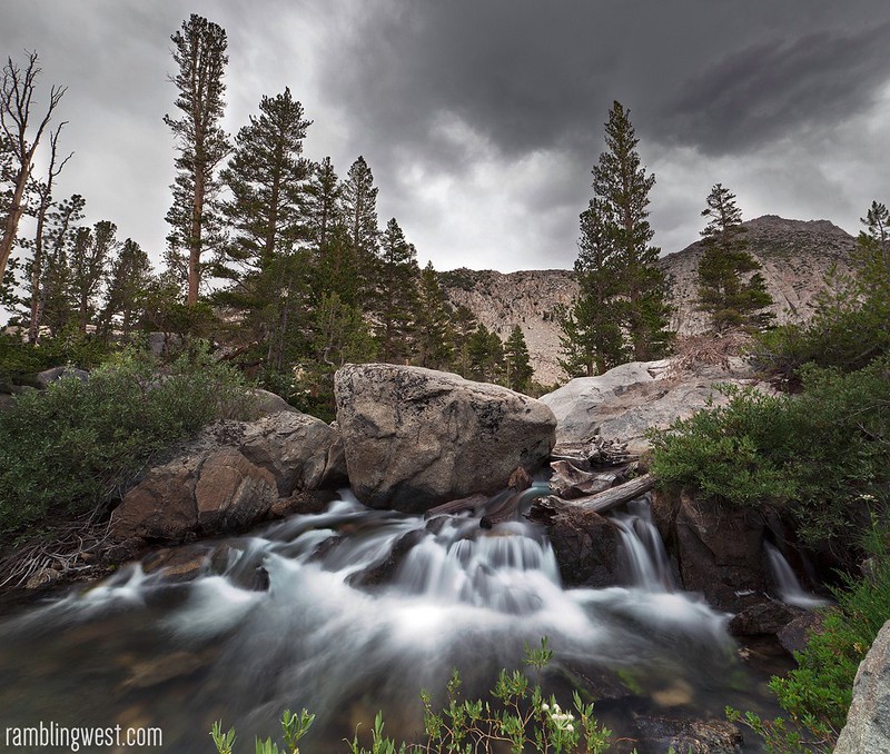
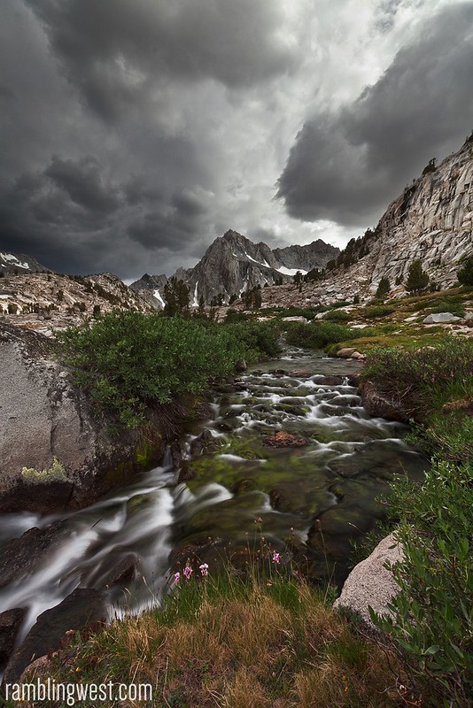
Water cascading out of Blue Lake…
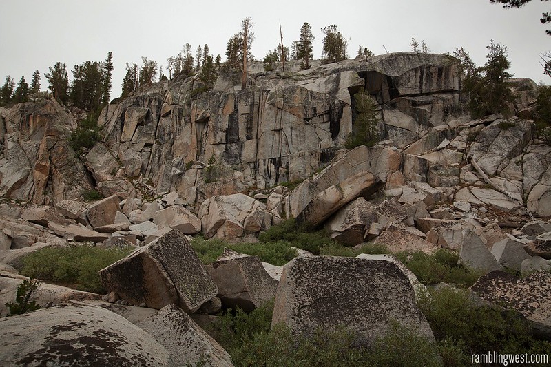
Granite along the trail…
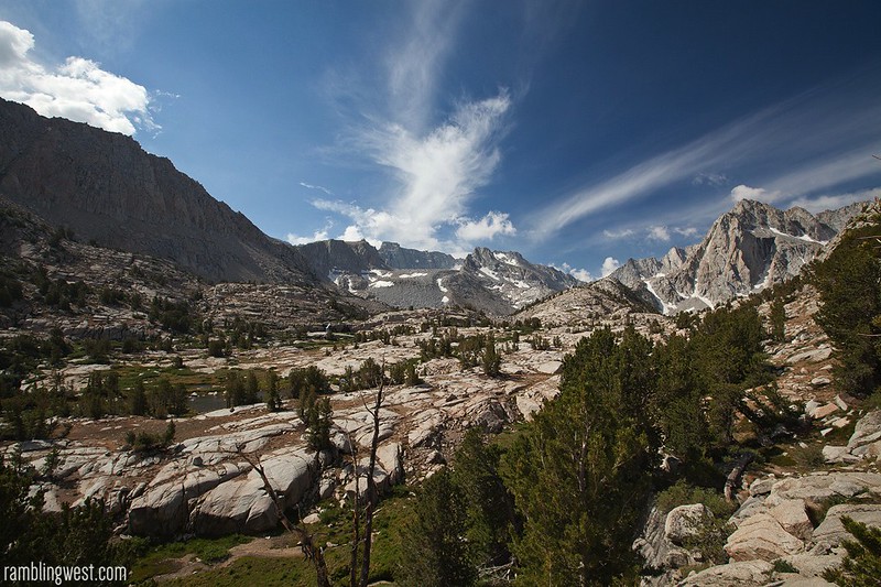
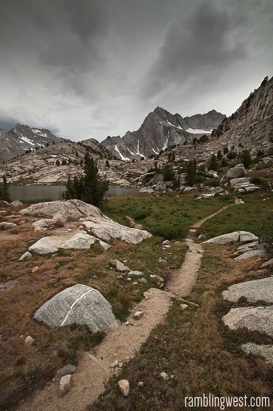
Blue Lake is a fantastic place to rest and take some photos before continuing on past the Emerald Lakes, Dingleberry Lake, Sailor Lake, Moonlight Lake and finally to Hungry Packer Lake at about 11,1000 ft. Along the way you are treated to tremendous high-sierra scenery of sculpted granite and subalpine forest.
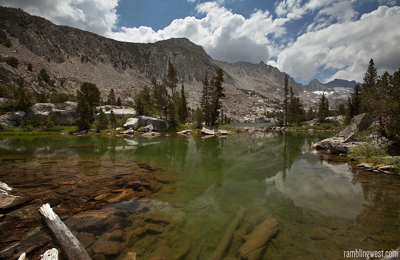
High Sierra scenery deeper into the basin…
The view near Sailor Lake
Single-Track trail leading to the northern edge of Hungry Packer Lake
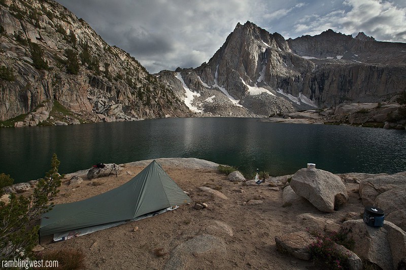
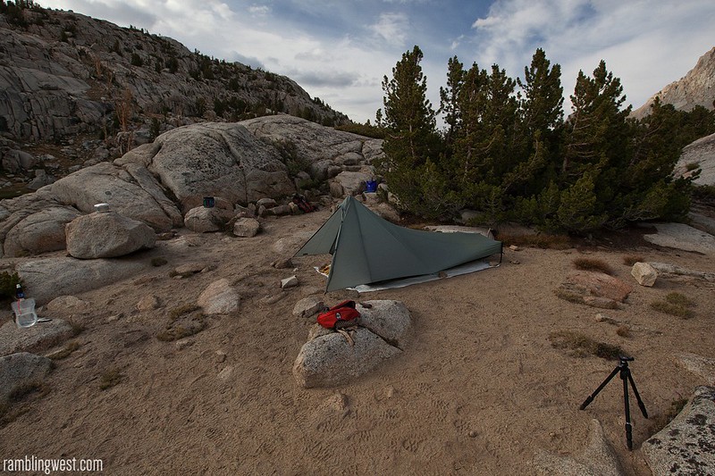
Camp on the shore of Hungry Packer Lake…
On a promontory in front of the lake…
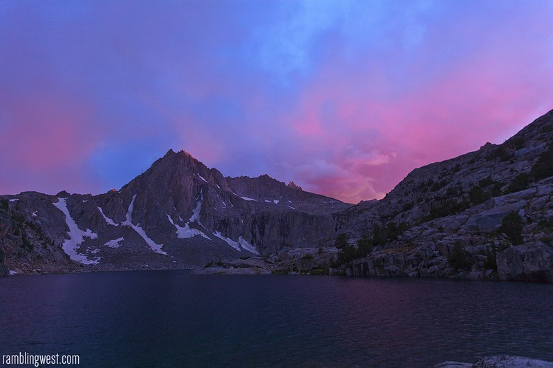
During my hike in, the sky had threatened rain all day and the sporadic drizzle gradually became more frequent. After setting up camp I took my camera and explored the immediate vicinity for photo opportunities. I photographed until the wind picked up and I figured I might have to brace for a storm. Hastily, I put together an early dinner of cold trail snacks and as I ate it was clear a cloudburst was imminent. I lowered the profile of my tent so it wouldn’t get battered as much by the wind and just as I hid my bear-can it started to pour. Confined to my tent for the next few hours, I passed the time by listening to the storm outside. Toward nightfall it stopped just long enough for me to snap one handheld picture of a brilliant sky. By the time the rain had passed it was dark and I fell into a broken and sporadic sleep throughout the rest of the night.
A moment in-between the rain…
By morning the storm had passed and the sun was shining. The whole mood had changed. After eating and packing up I headed back down the trail feeling re-energized. I made good time and after a stopover in Bishop for some coffee I was on the road back to LA.
The trip was short, but it was well-needed and really reinforced to me the therapeutic value of a quick overnight. It’s hard, but sometimes you have to just make time for this stuff and get out there. These experiences are more than worth it and to me are what make life worth living.
In the future I hope to use the Sabrina Lake access point to explore more of the area, like the Humphrey’s Basin to the north.
[iframe src=”http://www.mappingsupport.com/p/gmap4.php?q=http://www.johnniehuss.com/misc/kml/sabrinalakes_rw_map.kml&t=t1&z=12&” width=”100%” height=”400″]
::: Download Trip KML :::
Rating: ★★★☆☆
Distance: ~13.74 round-trip…
Time Needed: 1-2 Days…
Difficulty: Moderate
Special Considerations: The Sabrina Lake trailhead starts at around 9,000 ft and you will be ending up over 11,000 – probably not a bad idea to acclimate the night before.
Photo Tips: There are some waterfalls along the route so bring a neutral density filter if you want to take some longer exposures of running water. A polarizer is always nice to have, I forgot one and would have liked to have it when trying to cut glare on the crystaline lake below Picture Peak. If you are into warming filters a 81b might help you out, but I generally do that in post these days – less to carry.
Logistics: A permit is required for overnight trips into the John Muir Wilderness – this can be reserved ahead of time via recreation.gov or picked up in-person at the Eastern Sierra Interagency Visitor Center outside of Lone Pine.
hungry packer lake
, hungry packer lake gps,hungry packer lake kml, hungry packer lake camping, hungry packer lake backpacking, picture peak, picture peak sierra nevadas
